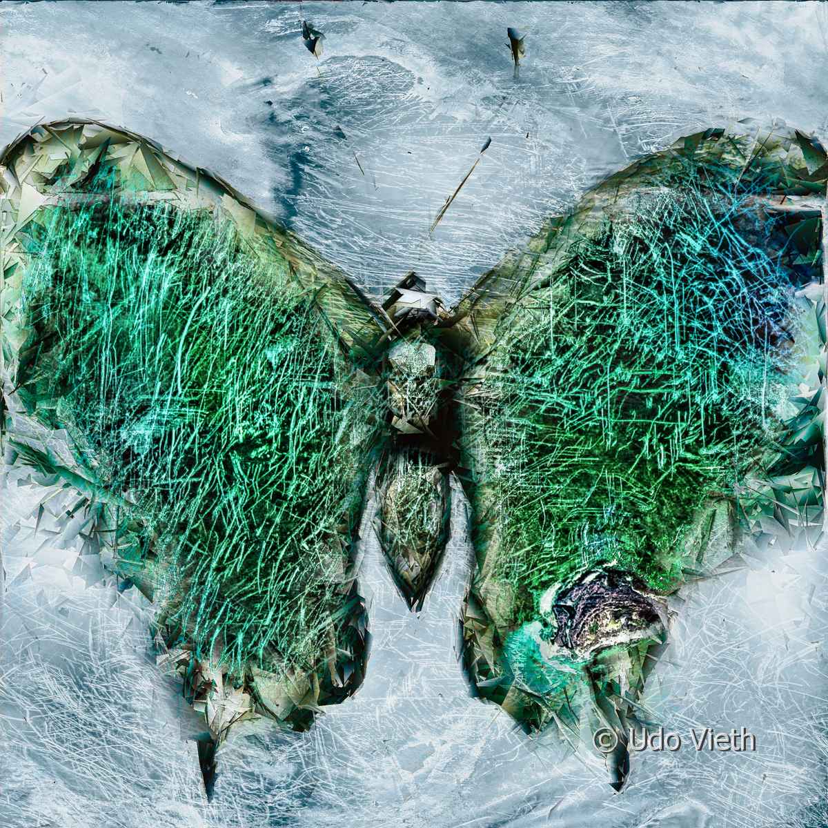
Seabed destroyed and marked by bottom trawling and ice conditions.
Caspian sea
41°56′ N 50° 40′ E
Upcoming Exhibitions
Biosphärenreservat Pfälzer Wald
Haus der Nachhaltigkeit, Johanniskreuz
20.05.2026 – 23.08.2026
Nationalpark Wattenmeer
Besucherzentrum Norderney
06.09.2026 – 03.01.2027
Görlitz
Senckenberg Museum
15.09.2026 – 28.02.2027
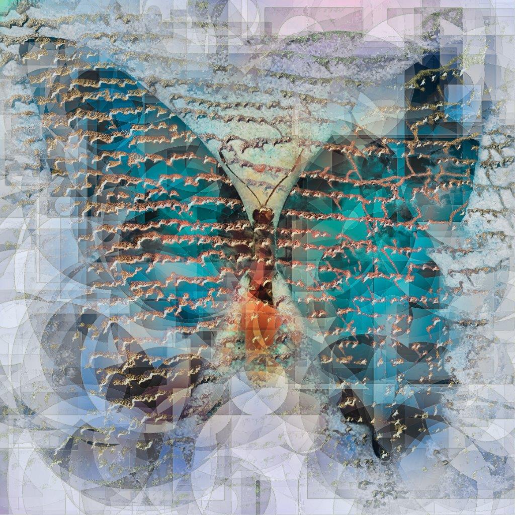
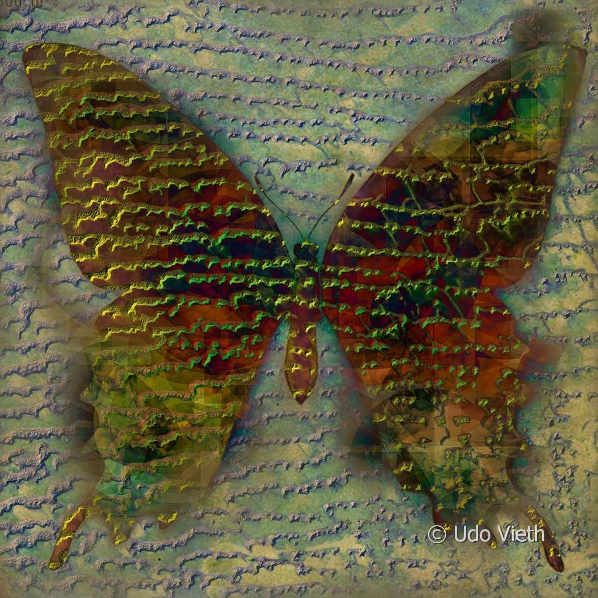
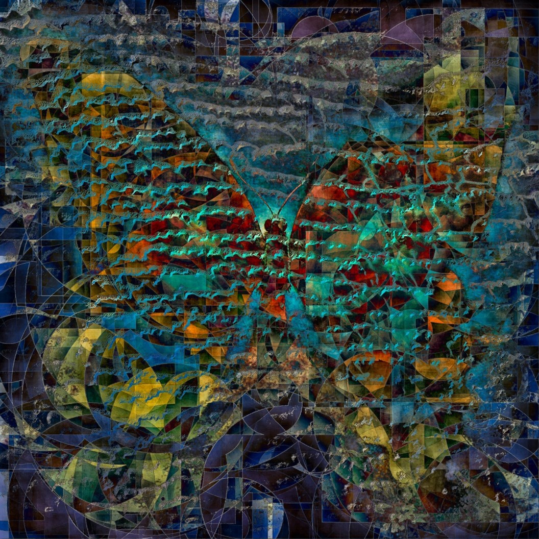
The butterfly project - satellite data meets art
Earth observation satellites give us a fantastic, different view of the planet. They document extremely slowly transforming earth structures, dynamic ocean processes and the rapid earth changes of the Anthropocene.
The digital satellite data are inspiration and raw material for my works. In dialogue with different algorythms I develop new images from them. And new image layers, which in turn are computed with each other and lead to new results. An interplay of specifications, feedbacks, resonances and transformations. Accompanied by artifacts, coincidences & necessities.
We fly over the surface of the earth – the butterfly gives the perspective and at the same time it offers a different view of our planet. Its perceptual reality is different from ours, but just as true.
The fragile butterfly represents vulnerability and threat. Lastly, it is a mythological symbol of metamorphosis in many cultures.
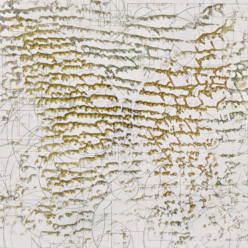
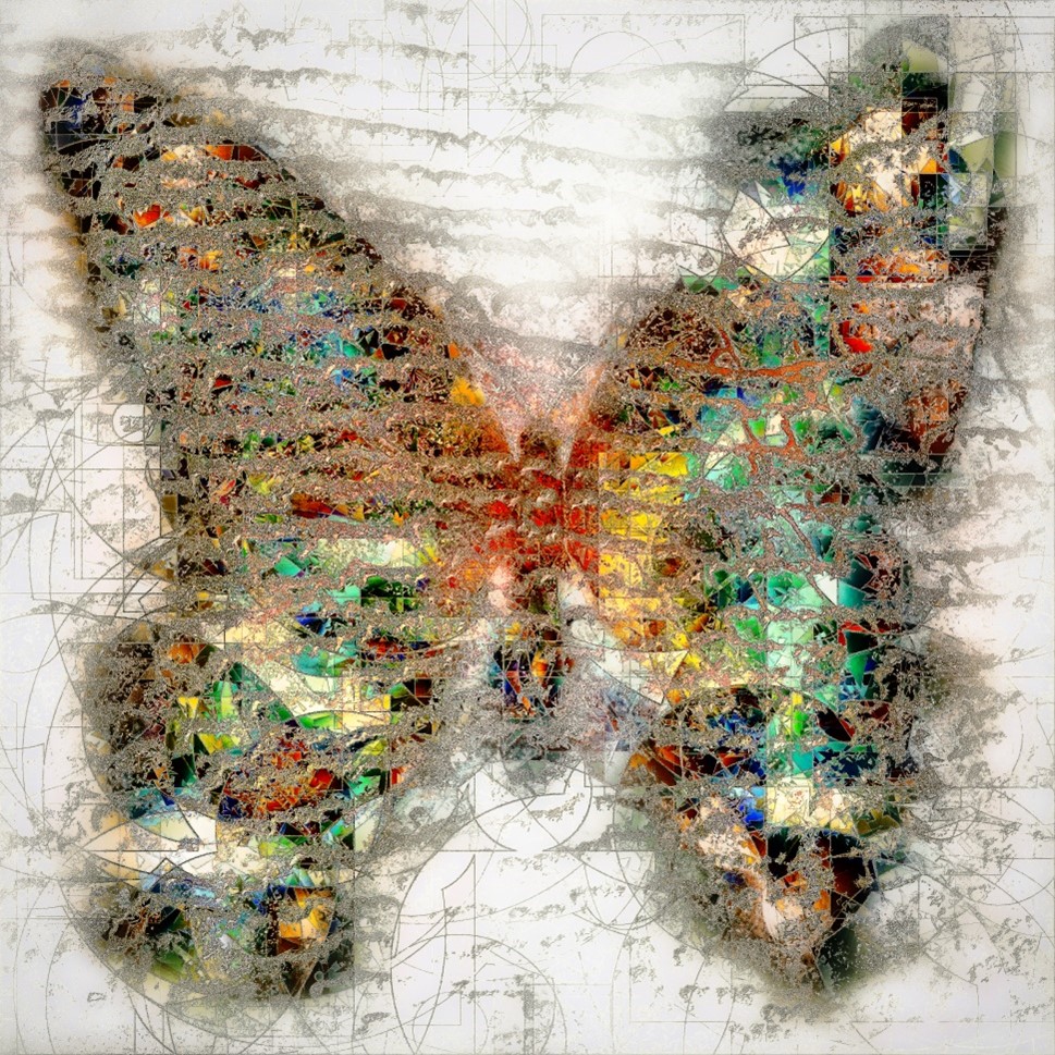
Toxic Beauties - the absurd fascination of the anthropocene
Observation satellites – our eyes on earth – have directed our gaze to the rapid changes of our planet through the Anthropocene. Their images and data document a new geometry of profit, intemperance and destruction – in a more and more tamed as well as seemingly ordered nature.
The processes of these transformations of our earth produce (paradoxically) at the same time images of an absurd, destructive beauty. Thus some of my butterfly pictures transport a poisoned, subversive message, they are Toxic Beauties.
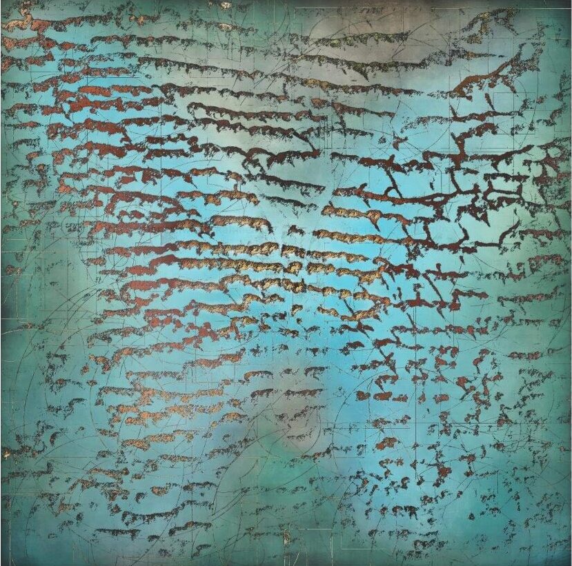
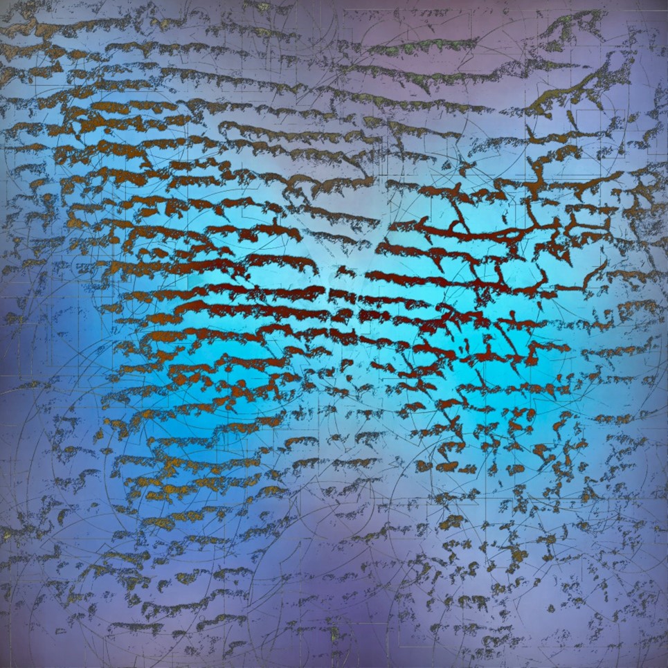
Toxic swirls
Algae bloom in the Baltic sea. Swedish south coast around the island Gotland.
Driven by overfertilization, sewage, lack of oxygen and high temperatures the algae bloom reached an expansion of 200.000 Square Km. (changing winds caused the swirls, lines and patterns)
57°N 20°E
Mississippi-transformations
Meandering Mississippi vs. farmland geometry – south of Memphis, Tennessee, USA
Terraforming
Former tropical dry forest – been cleared for radial patterned farmland. (The colors show the growth status of the crops. Sinuous lines represent smaller rivers) Bolivien, Santa Cruz
17°47′ S, 63° 12′ W
My Eyes On Earth
It is always a good idea to have support “from above”. My “eyes-on-earth” orbit around our planet at an altitude of 786 kilometers. They are satellites that give us a fantastic new perspective on the earth. They observe and document the transformations of our world over wide ranges of the electromagnetic spectrum.
For my work, I have given them the form and function of bionic butterflies – with the perception of a human, an insect, a machine. In many cultures, the extinct butterfly species stand for transformation and metamorphosis.
My-eyes-on-earth gives me the freedom and possibility to travel almost any place in the world in a timely and comfortable manner. To discover bizarre earth structures based on the wild and complex geometry of seemingly chaotic and random processes. Or to observe dynamic marine processes that produce fast-moving structures. And to visit places that show the tamed, geometric or toxic nature of the Anthropocene.
20 years ago I started in my documentaries about climate to work with satellite images. With fascinating photos of cloud formations, dune structures and water eddies. Today the multispectral digital images and measurements of the eyes on earth form the raw material for my artistic works.
Menu
The Poetry Of Rub-Al-Chali
Rollin star sand dunes in the Rub-al-Chali desert. Southern Arabian peninsula.
20°N 50°N
Mutations of the poetry of Rub-al-Chali
The geometry of coincidence and the necessity
Earth observation satellites show us fantastic landscapes and ocean structures. Some of them appear like gigantic sculptures and are a journey in space and time.
The transformations of our earth happen in highly different time scales. Tectonic or erosion processes take place over millions of years, ocean surfaces react so sensitively to wind and weather that they change their structure from moment to moment. The transformations produce a complex geometry that only appears wild and chaotic. And along the scale of size, there is an amazingly high degree of shape similarity.
Coincidence and necessity interact here.
Lyells principles
Arid erosion landscape in the eastern Sahara Desert – between the Nile river and the Red Sea.
I use various computer programs to develop new images from processed satellite data. According to my specifications, the algorithms then generate and transform further digital layers.
A feedback dialogue with the computer machine takes place in a digital resonance chamber – an interplay/interaction of multiple specifications and responses.
In this multilayered process, which is no longer comprehensible in detail, both chance and necessity play their role. It remains blurred who directs the artistic process.
With each step, with each layer and processing, the distance to the immediacy of the original information grows. Like spotlights, the programs shine for me into the digital space of infinite possibilities and mutations. I play with layers, data, algorithms and coincidences.
Helmholtz-moves
16,720 km² of summer color and texture magic. This is caused by dynamic water movements that encounter a multitude of different microorganisms and sediments in the sea. When stirred up, they make the water appear brown, white, green, blue or turquoise.
Yellowsea – between China and Korean peninsula 35° N, 123° E
Sossusvlai dunes
Namibia – 24° 44′ S, 15° 17′ O
Lena River Delta
Sibiria, Arktic – 75° N, 126° O
Lake Carnegie
Western Australia – 26° 10′ S, 122° 30′ E
Sacrifice zone
Yukon River Delta – 62° N, 164° W
Spaces
In my journeys of discovery, I move through three different spaces.
In orbit, the digital raw materials for my work are mined. The images and measurements document “frozen” arrangements of the earth’s surface, created from transformations in time.
From the sphere of consciousness come the impulses and ideas.
In the digital space, in turn, my works are created. However, the digital space is by no means as alien to us as is often assumed, because in parts it resembles the sphere of consciousness, our inner space of imagination and creativity. Thus, both spaces cannot be fathomed in their depth and their possibilities. And for both it is true that it is not completely explainable to us how ideas are born and processed from and in them. After all, both are not of the real world, but create the real. In this space, the voyages of discovery have just begun.
Arte Facts
With increasing complexity and demands on the software, surprising and unexpected responses from the machine occur. In a mysterious and often incomprehensible way, the patterns and structures of nature are interpreted and changed by algorithms. Faulty processing and “guided coincidences” create a border-blurring, new visual world at the end of this Magical Mystery Tour.


